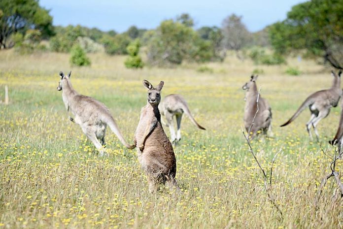
THE Department for Environment and Water (DEW) will take to Limestone Coast roads and skies this month to determine harvest quotas for kangaroos in the region.
For the first time the aerial and drive-around surveys, which start across the state on Monday, will be supported by predictive population models.
It follows the State Government lifting a longstanding ban in December, giving the green light to the culling of the eastern grey kangaroo in the Limestone Coast.
The expansion of the harvest zones in the South Australian Commercial Kangaroo Management Plan 2020-2024 was in response to reports of rising numbers of kangaroos in the region.
DEW spokesperson Anthony Freebairn said the aerial survey would cover the newly-opened Upper and Lower South East sub-regions.
“The kangaroo surveys will cover a reduced area this year in accordance with the recently adopted South Australian Commercial Kangaroo Management Plan 2020-2024,” Mr Freebairn said.
While the aerial survey was introduced in 1978, this will be the first time DEW has used a combination of aerial survey data and predictive population models to inform kangaroo harvest quotas.
“The population models have been developed in collaboration with the University of Adelaide and are based on long-term survey data and climatic variables, such as rainfall,” Mr Freebairn said.
“Using models to predict population numbers for some harvest sub-regions where we have long-term data will enable the survey team to concentrate their efforts on the newly opened harvest areas.
“Harvest sub-regions with traditionally high harvest will continue to be surveyed annually, but other sub-regions will be surveyed on a less frequent rotational basis.”


