
MOUNT Gambier Prison, the Tafe SA Campus and Suttontown Primary School are among a number of assets considered at risk from a bushfire, according to State Government data.
The region’s bushfire “hot spots” have been revealed ahead of State Government planning reforms seeking to restrict development in high risk areas.
While Mount Gambier and Grant are among 39 of South Australia’s 68 councils following planning guidelines for bushfire protection areas, moves are afoot to update maps across the state.
Currently, a majority of the Mount Gambier township is excluded as a bushfire protection area, meaning developments within the area are not subject to bushfire-related planning and building requirements.
However, a number of buildings in specific areas – including the Green Triangle Forest Nursery, Blue Lake Holiday Park and Marist Park – are determined to be at risk under the Country Fire Service classification.
The areas identified at risk range from “extreme” to “low” classification.
Within the Grant District Council area, 90 locations have the CFS warning, with four areas – Cleves Road, Wye, South East Softwood Plantations and Dry Creek Reserve – considered extreme risk.
The entire township of Carpenter Rocks, Mount Schank, Donovan’s riverside shacks and Tarpeena’s Fairytale Park are among the 32 areas designated as high risk assets.
CFS regional prevention officer Paul Dickson said while it was incumbent on individuals to identify and manage their risk level, assets on the higher end of the classification attracted a strong focus on prevention and suppression.
“We develop strategies around how to protect those assets, whether it means building to a higher standard or reducing fuel loads around the property,” he said.
“Education is a fundamental part of what we do and whether it is trying to get an individual to identify risks and developing treatments such as fuel reduction.
Following Victoria’s tragic Black Friday bushfires, the Weatherill Government implemented a statewide policy change to bushfire prevention controls through councils’ development application panel.
Proposals to develop property within high bushfire risk areas are assessed against the bushfire protection planning provisions of the relevant local area development plan.
City Council development services manager Tracy Tzioutziouklaris said building or developing in bushfire prone areas needed to comply with specific planning and building construction requirements.
Ms Tzioutziouklaris highlighted the Crater Lakes district and surrounding areas, Tenison Drive rural subdivision, as well as the northern section of Conroe Heights as being in bushfire protection areas.
She said some developments could include a referral to the CFS for advice on the difficult in protecting the building from a fire.
“Building in an area considered at risk would incur additional construction costs because of the need of them to be constructed to a higher bushfire protection level,” she said.
“There would be things like on-site storage in a particular type of rainwater tank.
“The code also picks up the type of timber used in the construction.
“The materials would all need to have a higher fire rating to ensure they are fire resistant.”
Ms Tzioutziouklaris said the rating for the Crater Lakes area, including the Blue Lake, prompted closure of the area on extreme fire days.
She cited accessibility of vehicles as being potentially problematic in a fire situation.
Julie Cowley, manager of Blue Lake Holiday Park – which is also identified as an at risk asset – said the system was a good way to mitigate risks in extreme weather conditions.
She supported additional compliance measures for developments in high risk areas, but said it could impact heavily on developments in the Valley Lakes area.
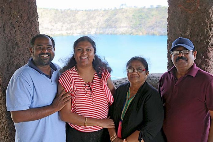
Adelaide visitors Vargehse and Ayna Vinu said they “had no idea” about the closure of the lakes precinct on extremely hot days.
They were happy their visit, along with parents Cicily John and Varghese Vinu Senior, coincided with milder conditions.


